
Walk a Seattle Street by Address
Start with the address as printed on a letter, deed, directory page, or permit. Do not repair an old spelling from memory. King County eReal Property can turn a modern address into a parcel number and owner record. Parcel Viewer then shows the site in relation to adjacent lots. Landmark uses the parcel or party name to locate recorded instruments because it does not search directly by street address.
Resident evidence comes later. Voter self-lookup is limited to the resident's own record, while a criss-cross directory can show a dated list by house number. Each step in the Seattle street directory adds a different kind of evidence.
- Normalize the street number, name, type, and directional prefix.
- Find the parcel and taxpayer through King County Assessor.
- Inspect adjacent parcels and jurisdiction in Parcel Viewer or iMap.
- Carry the parcel or party name into Landmark for deeds.
- Compare permits, complaints, and a directory from the right year.
Search Seattle Assessor Address Fields
eReal Property accepts a street address or parcel number. It also has a condo or apartment-complex choice. The property card can show the owner, legal description, zoning, lot size, present use, utilities, buildings, floor area, age, value, tax link, and map. A legal description identifies land through recorded subdivision terms rather than a postal address.
| Portal field | What to enter | What it helps confirm |
|---|---|---|
| Address | Number and current street text | Matching Seattle parcel |
| Parcel | County parcel identifier | Stable link across records |
| Condo or complex | Development name | Multi-unit property context |
| Property detail | Selected result | Owner role, building, land, value |
The King County eReal search shows the address and parcel options.
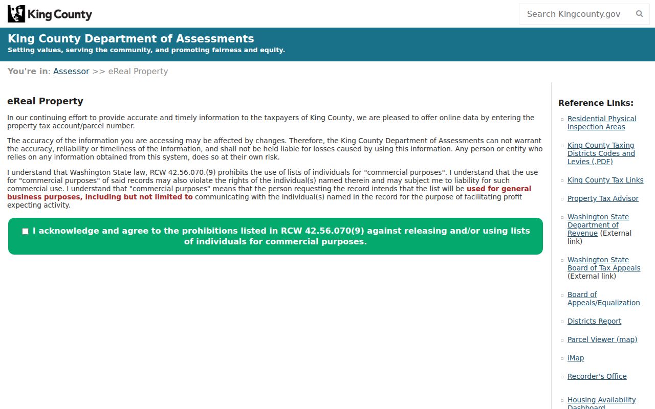
The screenshot helps distinguish the physical site from the owner's mailing field, a key street-directory safeguard.
Map Seattle Streets Parcel by Parcel
King County Parcel Viewer searches an address, parcel, condo name, or intersection. Its selection and buffer tools can gather nearby parcel IDs; measure, layer, basemap, and export controls provide added context. A result may show present use, jurisdiction, taxpayer, address, assessed value, lot area, levy code, units, and buildings. Property and District reports carry details beyond the map.
Use the Parcel Viewer to inspect a Seattle block.
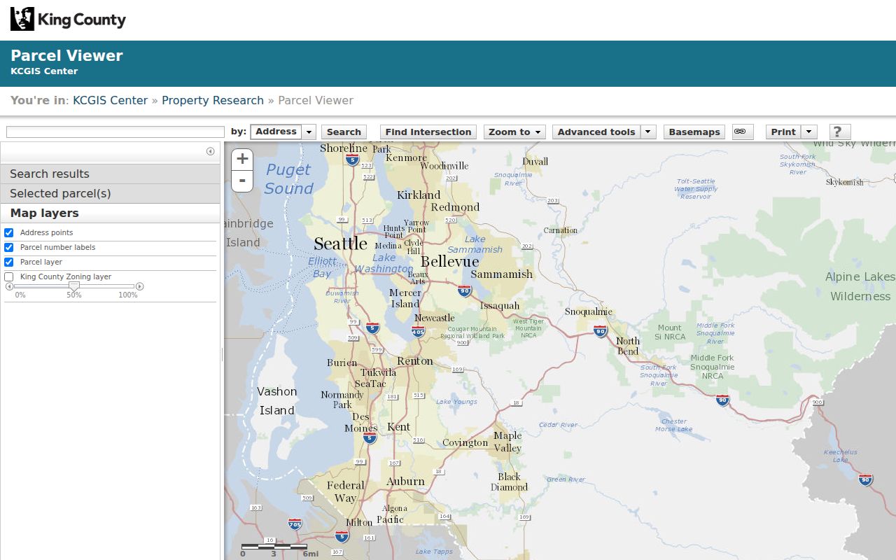
The viewer is best for selecting parcels along one segment, though its drawn lot lines are approximate and can change.
King County iMap supplies another path by address, parcel, intersection, or landmark and adds thematic layers and older aerial views. When one viewer fails, try the other, then contact the Assessor or GIS staff rather than guessing from a commercial map.
Seattle Street Directory Record Channels
Address-keyed sources cover different eras and roles. A complete street directory search preserves all documented access channels, including web tools, office service, mail requests, archive microfilm, and library help.
| Record source | Place evidence | Keeper | Access route |
|---|---|---|---|
| Assessor property card | Parcel, taxpayer, land, building | King County Assessor | Web, phone, office |
| Parcel Viewer and iMap | Lots, districts, adjacent parcels | King County GIS | Free viewers and reports |
| Recorded instruments | Parties, dates, legal description | King County Recorder | Landmark, mail, office |
| Permit and complaint files | Project, status, work, address | Seattle SDCI | Web tools, written request |
| Historic directories | Dated names by address | SPL and City Archives | Digital, shelf, microfilm, staff |
Washington's public voter list has legal limits, and My Voter Information is a three-of-four-field self-lookup. It should not be treated as a way to enumerate a street.
Follow Seattle Parcels into Deeds
Landmark indexes most recorded King County instruments from August 1, 1991 onward. Parcel search is generally useful from 1997 forward. Name Search allows grantor, grantee, or both, with Starts With, Contains, and Equals matching. A grantor gives or transfers an interest; a grantee receives it. Search paths also include document type, book and page, record date, legal description, Torrens, and plat reservation.
The Landmark search portal shows its tabs and index boundary.
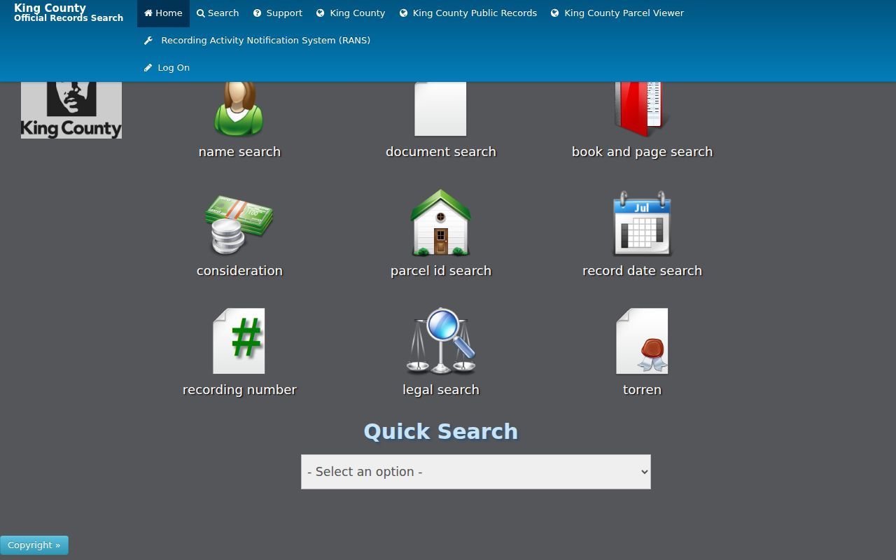
The result identifies a recorded transaction, not who occupies the address. Inspect the document image when available or order a copy through the Recorder.
For earlier deeds, use King County Archives books and microfilm covering 1853 through July 31, 1991. Bring the parcel, legal description, party names, and date range. In-person research and staff requests fill the gap left by the online index.
Read Seattle Permits by Street
Seattle Department of Construction and Inspections provides Permit and Property Records plus a map-based permit-history tool. Searches use street address, map location, dates, type, or keyword. Results can show permit activity, project description, status, inspections, related permits, applicant team, and linked documents. A permit contact or applicant role does not prove residence.
The Seattle permit-history map combines current systems, legacy systems, and digitized paper.
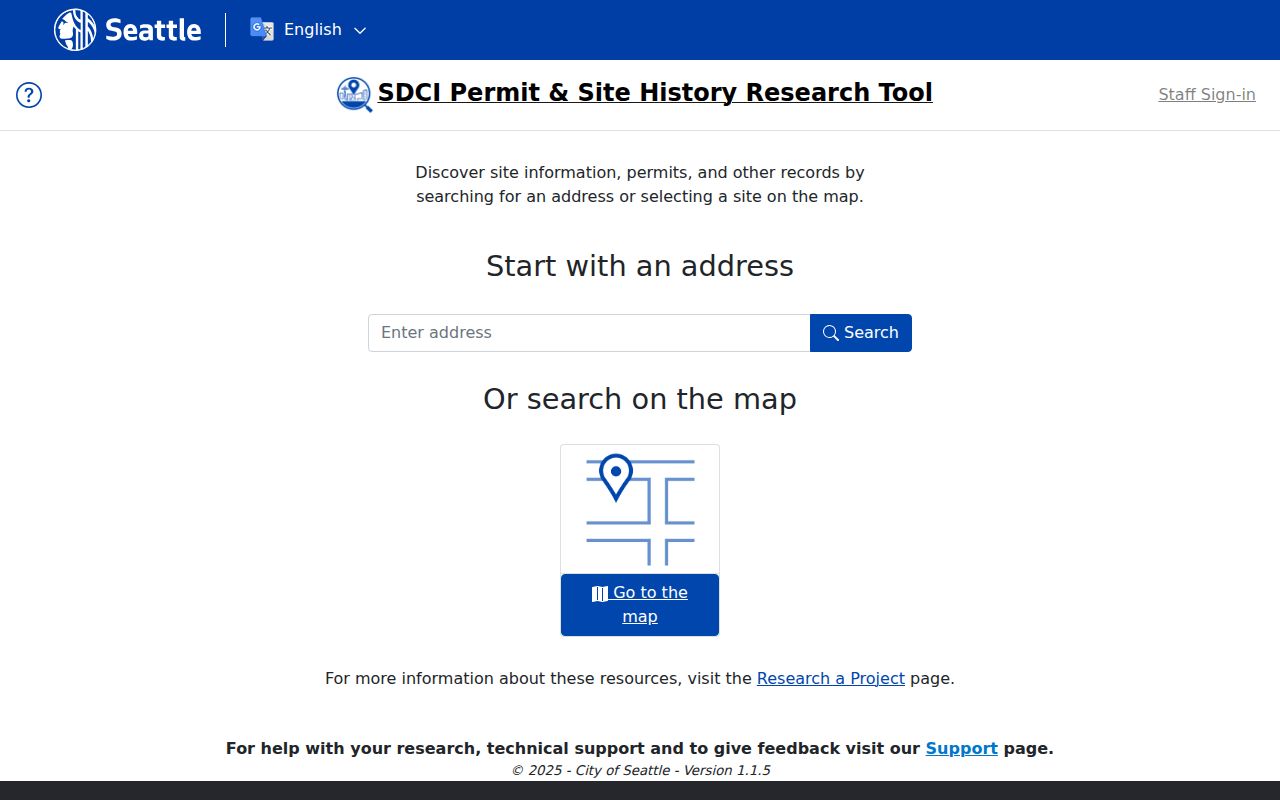
The captured tool turns one address into a dated building record, which can explain unit changes or a missing old house number.
Older plans and files may require a written SDCI request. The complaint search accepts date, record number, type, status, address range, prefix, street, type, and suffix for records back to November 10, 2003. Use complaint data as a civic record, not as a claim about a named resident.
The live permit-history support material identifies version 1.1.5 in 2025 and explains that current records, legacy systems, and scanned paper feed the results. That blend is useful, but it also means an old description can preserve a spelling or status that later files changed. Download the available report, note the search date, and keep the record or permit number. If a result names several applicants, architects, owners, or contractors, retain each displayed role. Do not turn a project-team field into a claim that the person lived at the site.
Decode the Seattle Street Directory
These terms keep the record chain clear.
- Parcel
- A mapped unit of land identified by King County.
- Situs address
- The property's physical address, unlike the taxpayer's mailing address.
- Plat
- A recorded map dividing land into lots, blocks, roads, or tracts.
- Criss-cross directory
- A dated directory ordered by street and house number.
A parcel can hold many units. One postal address can also refer to a large complex. Carry the parcel and legal description alongside the street text when the Seattle street directory spans several record systems.
Seattle Streets Changed in 1961
Seattle's 1961 directional-system change can break a literal address search. City Archives Street Designation Maps bridge pre-1961 and later prefixes. The city's grid also uses different conventions downtown and in West Seattle. Preserve the old address exactly, then test the mapped current form rather than silently replacing it.
Annexation adds a second history problem. South Seattle joined in 1905. Ravenna, Columbia, South Park, Ballard, and West Seattle were among the areas added in 1907, and Georgetown followed in 1910. A record from before the exact annexation date may sit under the former city or county jurisdiction. City Archives' annexed-cities references, ordinances, and research room provide the bridge.
Reverse Search Historic Seattle Streets
The 1928 Seattle House and Street Directory is arranged for address-first work. Seattle Public Library's digital directory selection covers volumes from 1867 through 1940, while Seattle City Archives holds a broader 1890 through 1990 run. Print, microfilm, digital pages, and staff help all matter because optical text search can miss abbreviations and faint type.
Record the directory year, exact street string, side of street, cross streets, and entry text. A historic listing can establish that a name was printed at an address in that edition. It cannot establish present occupancy. For publisher runs and abbreviation keys, use the Seattle Directory Book rather than rebuilding that shelf here.
Work outward from the target number. Read the entries just before and after it, note vacant lots or multi-unit markers, and write down both cross streets that bound the segment. A Sanborn fire-insurance map can then test the building footprint and use for that period. Historic aerials in iMap may show whether the structure survived. When the number disappears between editions, test a renamed street, the 1961 prefix change, annexation, demolition, or parcel split before assuming the directory is wrong.
Check Seattle ZIP and City Lines
A ZIP is a postal delivery area, not a city boundary. King County's preferred-city inventory includes codes that cross Seattle limits or point to nearby places. Codes such as 98146, 98155, 98158, 98166, 98168, 98178, 98188, and 98198 are poor shortcuts for deciding jurisdiction. Compare the postal code with King County GIS and Seattle GeoData.
Neighborhood names are also fluid. Seattle publishes 53 Community Reporting Areas based on census geography, but those are approximations and may differ from everyday labels. State the actual geography used: parcel jurisdiction, city limit, ZIP, council district, reporting area, or historic neighborhood. This prevents a street-directory result from assigning the wrong custodian.
Use Seattle Property Cards Historically
King County's 1937 to 1972 property cards can add a building photograph, sketch, construction facts, assessment notes, and parcel changes. Some fields are missing, and the card may not name an occupant. Use its parcel, legal description, and physical evidence to align the old structure with a Sanborn map or directory page.
The City Archives property-history resources explain the archival route.
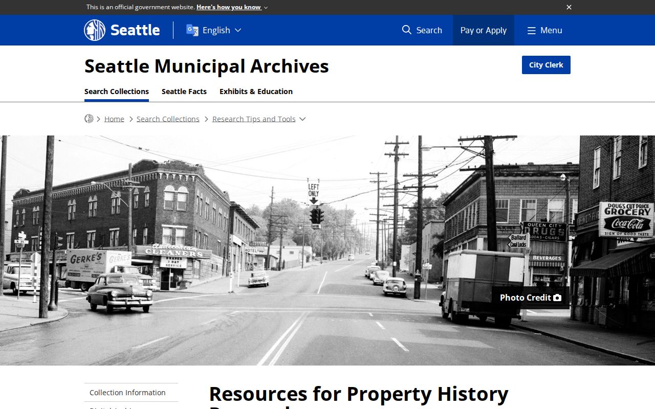
The research path is useful when a demolished building, parcel split, renamed street, or changed house number leaves no clean modern match.
Tax rolls add another dated layer. They may provide the assessed person, parcel description, and value for a given year, but the taxpayer still may not have occupied the building. Compare the tax entry with the card's photograph or sketch, the recorded legal description, and the directory page. For pre-1991 recorded material, bring those identifiers to King County Archives rather than treating silence in Landmark as a missing deed. Archive books, microfilm, property cards, and tax rolls are the required fallback chain for an older Seattle street.
Limits of a Seattle Street Directory
Public property data chiefly names taxpayers or owners. It does not list every occupant, child, guest, or household member. Directories are dated snapshots. Permit applicants and complaint contacts hold specific record roles. Voter self-service is not a street list, protected court files remain closed, and Address Confidentiality Program data must not be traced.
Lawful use. Use Seattle street records for family history, deed research, civic review, or a careful property check. Never use them to stalk, harass, threaten, or defeat an address protection.
A responsible Seattle street directory reports source, date, parcel, and exact role. When evidence conflicts, label a possible match and stop until an independent record resolves it. Do not infer a move from one missing voter result or call an owner a resident without separate support.